Sky Ireland was the third property owner to sign on to Noosa and District Landcare Group’s Keeping it in Kin Kin (KIIKK) project, established after University of the Sunshine Coast studies (Lamb, 2011 and Tully, 2012) identified Kin Kin erosion as the key contributor of excessive sediment and nutrient load in the Noosa River Catchment.
Further studies revealed more than 2.4 million cubic tonnes of soil eroded over just a seven year period.
Sky had been carrying out her own weed management and revegetation works for more than 20 years and was a long term participant in the Noosa Council’s Land for Wildlife program when she contacted NDLG.
Her 5.7ha property was made up mostly of native bush with small areas of pasture for her two horses.
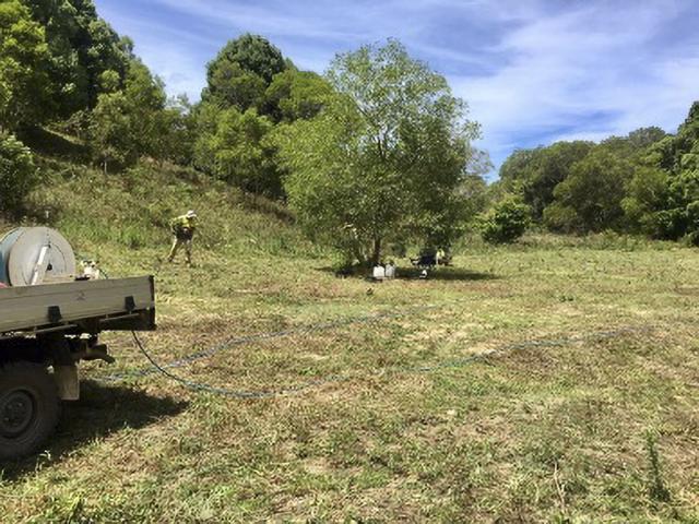
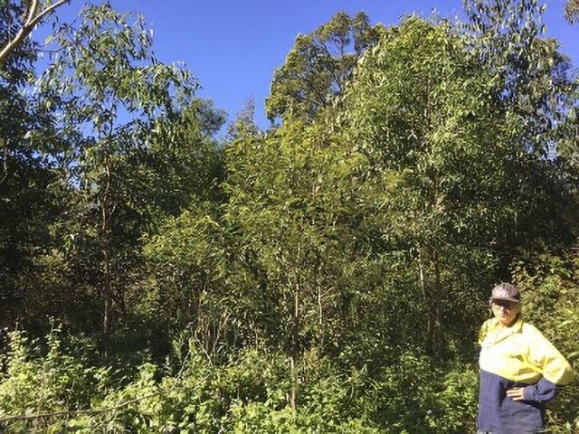
After discussions with NDLG she decided to reduce her pasture size and restore the riparian area of a Kin Kin Creek tributary and an infrequently flooded gully in order to prevent future erosion.
“Having two water courses on my property I have always been mindful of the health of our waterways. I took it a step further and invited [NDLG project officer] Jamie Knight and his team to assess what else we could be doing to Keep it in Kin Kin for healthier waterways down-stream,” Sky said.
“The enthusiasm for what we could achieve was fabulous, the end result being a sizeable area surrounding both waterways with a lush forest in the making.”
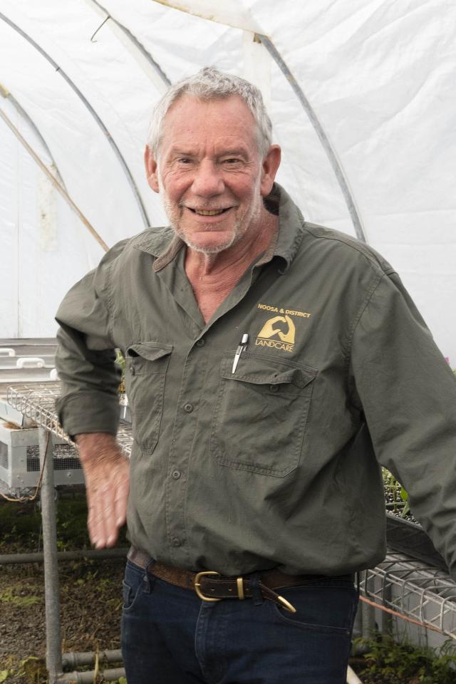
NDLG president Phil Moran said since implementation of the project in June 2020, KIIKK has worked on 25 properties, nine being pastural properties grazing between 400 and 700 head at any given time.
“In that time NDLG has completed over 4.3km of riparian zone restoration, 8.9ha of hillside and gully revegetation, put 17,096 plants in the ground consisting of over 250 species (four from our threatened species program) and has erected 2.3km of cattle exclusion fencing to protect waterways,” he said.
The reason behind the large losses of Kin Kin soil dates back partly to its geological origins and partly to the period between 1866 and 1900 when the majestic Kin Kin Scrub of Red cedars, giant Kauri pines and incredible Hoop pine was extensively cleared for timber, some even finding its way to the internal staircase of Queensland’s Parliament House.
Since then the land has had a myriad of farming uses, including beef cattle, dairy, bananas, beans, peas, pineapples, sugar cane, and other small crops.
In recent years there has been an increase in landholders who are looking to diversify, seeking more sustainable uses of the land and the area has seen an increase in boutique crops such as coffee beans, organic greens, alpacas for the fleece and dairy goat farms specialising in milk and cheese production.
Lake Cootharaba is fed primarily by two main river systems; Noosa River, fed by Teewah Creek, flows through Cooloola National Park, and Kin Kin Creek. Of the two systems USC researchers identified that Kin Kin creek was the major contributor of sediment influx and studies revealed the lake to have unnaturally high levels of Total Nitrogen along with high levels of sediment load on the benthic floor.
In addition to the threat to Lake Cootharaba, the riparian ecosystem for this area has a percentage of remnant Lowland Rainforest of Subtropical Australia (LRFSTA), listed as critically endangered under the Environment Protection and Biodiversity Conservation Act 1999 (EPBC Act).
After the source of the river catchment’s sediment was uncovered about 10 years ago NDLG commissioned a report from Healthy Land and Water (HLW) to provide the data needed to tackle the issue and highlight worst erosion areas.
Analysis of remote sensing imagery, Light Detection and Ranging (LiDaR) and the layering of images collected over the period of 2008 – 2015, established the origin of sediment and erosion type. Comparing elevation and slope, geological and soil type and increase or loss of soil levels, problem areas, soil movement, the type of erosion and the likelihood of erosion could be determined.
The study concluded that for the catchment of only 22,000ha, more than 2.4 million cubic tonnes of soil, or the equivalent of 191,284 large dual axel soil delivery trucks filled with soil was mobilized between 2008 and 2015.
Phil said the HLW report provided an excellent picture of high, mid and low priority sub catchments as well as “hot spots” and erosion types in Kin Kin. “This allows NDLG to enter any address in the Kin Kin catchment and immediately gauge how important remediation works would be for any given property,” he said.
Kin Kin property is primarily privately owned, with a small percentage of State land, Council managed reserves, National Park, and State Forest.
Landholders near to the “erosion hotspots” are approached by NDLG and asked if they would like to participate in the project.
KIIK is aimed at keeping Kin Kin’s soils in place through reduction of soil movement, stream erosion and fine sediment mobilisation with an expected result being an overall improvement of waterway health and water quality within the Noosa River and Lake Cootharaba systems and an increase in agricultural productivity.
NDLG is working with landholders within priority areas of the Kin Kin catchment, including Wahpunga Creek, Kin Kin Creek, Western Branch, Golden Gully and Kin Kin Township.
Through the project landholders are provided financial assistance and support to implement improvement strategies such as installing waterway and gully fencing to control livestock, installing off-stream water sources for livestock, planting in waterways, gullies and hill slopes and repairing erosion areas.
They are also helped to improve soil health and increase quality of productive top soil on farming land as well as manage weeds.
“We want to continue to engage with the community to improve the catchment,” Phil said.
In addition to KIIKK’s on-ground works, NDLG has conducted monitoring of the ambient water quality in the main creeks of the priority catchment areas of Wahpunga and Kin Kin.
“This monitoring will establish a baseline against which we can compare future water quality parameters in an effort to measure project impacts with ongoing monthly ambient water quality monitoring at 10 monitoring sites – four along Wahpunga creek and six along Kin Kin creek,” Phil said.
“We have 23 data points collected from each of the 10 sites and by December this year will have the minimum of 24 data points needed to perform meaningful analyses and be better able to identify trends.”
With more landholders keen on adopting erosion measures, expanded water quality monitoring and three-year funding from Noosa Council, Phil is optimistic headway is being made to prevent soil eroding from Kin Kin into the Noosa River system.
To get involved or find out more contact Jamie Knight on 5485 2155 or email projects5@noosalandcare.org