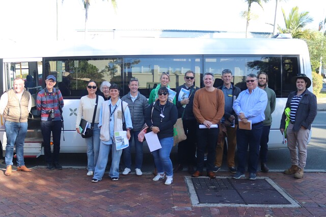
On a recent Friday morning you may have seen a Council bus around the streets of Tewantin, Cooroy, Noosaville, Noosa Heads and Peregian Beach.
The passengers included key Council infrastructure staff together with representatives from several Noosa community groups.
Zero Emissions Noosa, the Noosa Biosphere Reserve Foundation, Tourism Noosa, Peregian Beach Community Association and Sunshine Coast Bicycle Users Group were among the organisations along for the ride.
The multi-talented Shaun Walsh, the Council’s director of infrastructure, was our driver.
The various organisations had come together to jointly review some of the best and worst of Noosa’s cycling and walking infrastructures, and to discuss solutions and priorities. In particular, the group focussed on infrastructure priorities identified in the Noosa Council’s Cycling and Walking Strategy 2020 – 2040.
Council and community reps shared a common desire to see improved infrastructure for active transport that makes cycling and walking safer and more enjoyable and reduces our reliance on cars.
There was unanimous agreement about the need for wider shared paths to schools and shops, barriers separating bike lanes from traffic and improved crossing points on busy roads especially near roundabouts
The first stop was Cooroy where active travel to local schools is challenging. Footpaths are too narrow for sharing by walkers and cyclists. The old Bruce Highway bridge over the railway line (which is still in State Government hands) is unsafe for active commuters and desperately needs upgrading as it is the conduit between the eastern and western parts of Cooroy. The team also noted that the diagonal parking at Maple Street is risky for cyclists as cars back out into their path.
Driving along Gibson Road, it was noted that the on-road bike path there is well marked but many casual cyclists still wouldn’t feel confident going on road. In part, because the width of the bike path varies with a few sections getting quite narrow. Also – like along several bike paths in the shire – cars can be seen parking in the bike path. More yellow painted strips to prevent parking would be a solution to this.
Research from the City of Melbourne found that in Australia, only 22 per cent of cyclists surveyed felt comfortable riding alongside traffic without separation.
Confidence rose markedly to 83 per cent if there was a separated bike path. The bike path along Gibson Road would be a perfect candidate for Council to set up a demonstration protected bike lane. This would involve a simple barrier that prevents cars crossing into the bike lane. It could be monitored to see if it does increase usage and if so, this model could be expanded to other key danger spots for on-road cycling.
Gympie Terrace was our next stop. This busy road attracts residents and tourists alike to come and enjoy the riverside paths, cafes and restaurants. As such it has huge potential as an area to be enjoyed by both cyclists and walkers. However, more is needed to separate walkers, cyclists, scooters and cars. Bike riders encounter a high risk of ‘dooring’ (being hit by someone in a parked car opening their door), and the on-road bike paths disappear on the small Gympie Terrace crossing points.
Our bus trip ended with coffee, cake and a debrief in Victory Park on Lorikeet Drive, Peregian Beach where the Council and State Government are creating a 800 metre active street that will extend the existing coastal pathway.
Zero Emissions Noosa and fellow community groups will keep the conversations going with the Council Infrastructure team to support priority initiatives.
If you would like to be involved join ZEN’s Transforming Noosa Transport Facebook Group or email vivien.griffin@zeroemissionsnoosa.com


