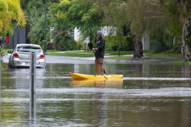
Severe thunderstorms have the potential to bring a return of flash and riverine flooding to south-east Queensland over the coming days.
Thunderstorms producing locally heavy rainfall hit south-east Queensland on late Wednesday evening. This will likely persist into the weekend and could lead to water rising in local creeks and streams that respond quickly to heavy, short duration rainfall.
Storms on Thursday have the potential to be severe including the risk of large to giant hail, damaging to destructive winds and intense rainfall.
A Flood Watch has been issued for potential renewed river rises across south-east Queensland. Depending on where the heaviest rain falls, areas of minor to major flooding may redevelop, although peak levels are expected to be below those over recent days.
Widespread rainfall totals of 20-80 mm are possible across the flood watch area. High intensity rainfall associated with any thunderstorms could result in isolated totals greater than 150 mm.
Communities should be prepared for flood impacts and are encouraged to keep up to date with the latest forecasts and warnings on the Bureau’s website and BOM Weather app, and to follow the advice of emergency services.
For more details, please visit www.bom.gov.au/qld/warnings


