Noosa is on cyclone watch with Tropical Cyclone Alfred expected to cross the Queensland coast between the Sunshine Coast and Brisbane Thursday evening or Friday morning bringing significant wind, rain and coastal hazard impacts.
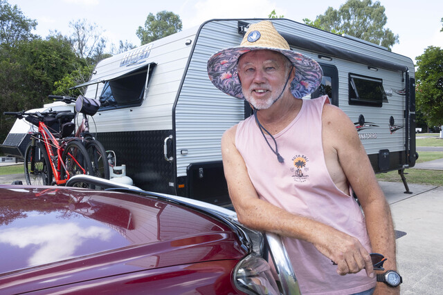
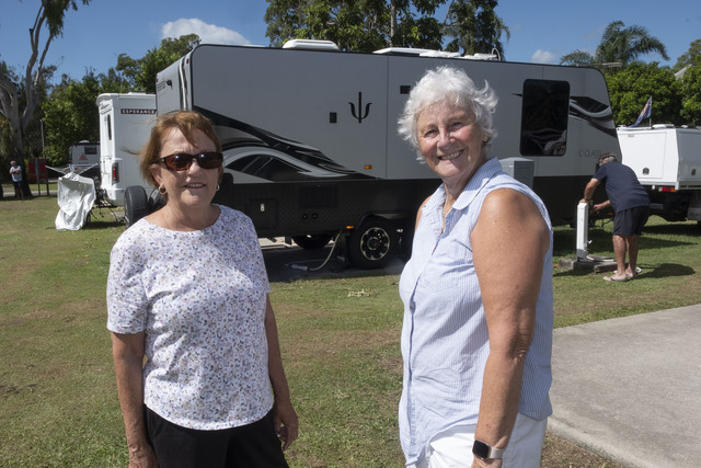
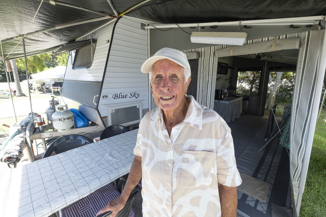
Noosa Council activated its Local Disaster Coordination Centre on Monday in preparation for the category 2 system and closed its holiday parks at Noosa River, Boreen Point and Noosa North Shore, urging campers and caravaners to leave.
On Tuesday most heeded the advice. At Noosa River holiday park, holidaymakers were packing up and heading home, many returning to homes in Brisbane to prepare for the cyclone’s arrival there, while some decided to ride out the storm at the park.
Council will shut down operation of the Noosa North Shore vehicle ferry from 6pm Wednesday night.
Waste transfer stations have already closed at Pomona and Cooroy and will shut at Eumundi Road from midday on Thursday.
Residential Wheelie bins normally collected on Thursday and Friday won’t be emptied and residents are asked to secure their bins on their properties by 4pm Wednesday to prevent them becoming projectiles in high winds. Those services will be collected on Monday.
The State Emergency Service (SES) opened public pick-up points for free sand and bags for filling and advised people living in low-lying areas to consider filling sandbags in case of flooding and to meet demand Council opened a further sandbag filling station at the boat ramp, Gympie Terrace, Noosaville.
Unitywater is encouraging the community to store water ahead of Cyclone Alfred in case of water outages across the region.
Bureau of Meteorology (BOM) senior meteorologist Miriam Bradbury said gale force winds were likely to develop over Wednesday as the cyclone turns toward the coast.
Ms Bradbury said the cyclone was expected to bring destructive winds gusts, heavy rain and flooding and damaging surf and abnormally high tides which can lead to local inundation.
We’re already seeing large waves, sea and swell. It will be growing as the cyclone nears the coast Thursday and Friday with wave heights pushing up to 7m, 8m or 9m and producing incredibly dangerous conditions on the water, she said.
Ms Bradbury said rainfall accumulation of 200-400mm across the period was expected, and there may be isolated falls in some areas of 600-700mm.
“We have issued flood watches in anticipation of water leading through systems leading to dangerous riverine flooding,” she said.
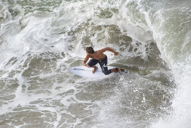
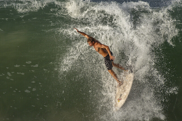
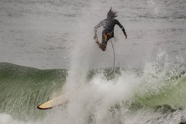
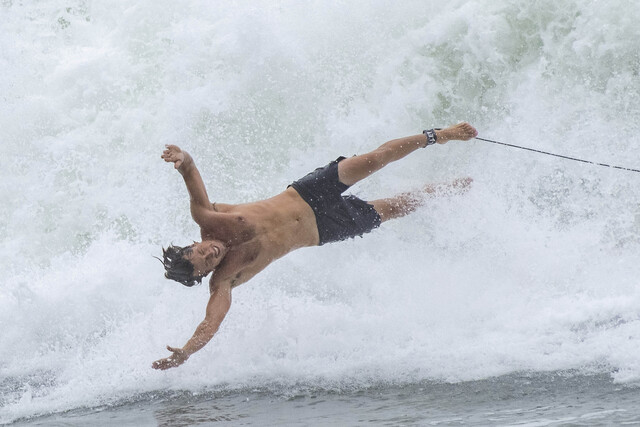
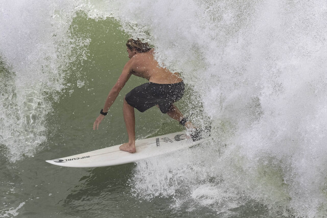
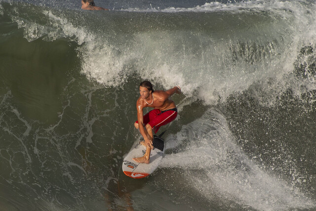
Surfers and spectators made the most of conditions whipped up by Tropical Cyclone Alfred over the weekend with a steady stream of cars and bikes making their way to Main Beach and the national park to enjoy the uncommonly seen waves for which Noosa is known.
Swimmers enjoyed the surf at Main Beach, beach walkways were packed with onlookers and surfers walking back to national park to ride their next wave in, traffic was backed over Noosa Hill and Hastings Street was very busy.
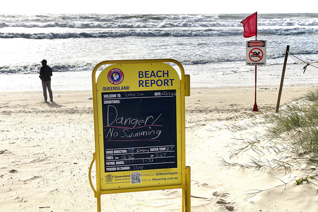
Eastern beaches have been closed along Noosa due to dangerous conditions.
Queensland Premier David Crisafulli said a cyclone was rare, but not unprecedented for south-east Queensland.
“We want Queenslanders to know we’ll get through this if you do the preparation,” he said.
Stay informed by visiting Council’s Disaster Dashboard – disaster.noosa.qld.gov.au/
For tips on how to prepare your property, visit the Get Ready Queensland website – www.getready.qld.gov.au/