At about 8.30am on Wednesday 26 October 1870, five members of the Gympie Progress Association’s Noosa Route Inspection Subcommittee set out on horseback from the brand-new Northumberland Hotel in the centre of the collection of mining camps that was rapidly becoming a town.
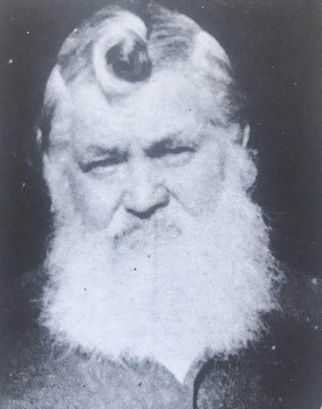
Their mission: to see for themselves the progress of the horse and coach track taking the most direct, albeit it rough, route from the goldfields to the proposed township and port facility on the lower Noosa River, for which the Progress Association had commissioned, somewhat reluctantly, the services of the well-known bushman and entrepreneur Walter Hay, later to become famous as the father of Noosa.
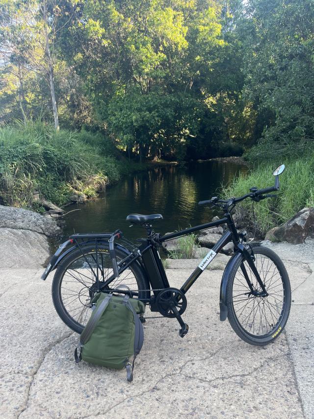
One hundred and fifty two years and one week after the route committee saddled up and left the pub, I set out on my trusty e-bike on much the same mission, although mine was more to report on the ravages of time and neglect on this once and briefly important trade and tourism route.
Never having seen a detailed map of the track that became known as The Shortcut, I had only a newspaper report of the route committee’s findings to guide me, plus Walter Hay’s frequent outpourings in the letters’ columns of the Queensland colonial press about his obsession with turning the flow of the Six-Mile Creek from west to east, in which he indicated that no white man knew the creek better, since he had once slashed a track along its banks.
Oh, and I could follow the road signs, although this can be fraught with furphies. For example, Old Noosa Road is a good one, whereas Old Coach Way may lead to a replica tavern built a century later, or a new estate of colonial-style McMansions.
By 1870, Walter Hay, then 37, had already made a lot of money (much of it from ownership of the Prince’s Ferry service at Maryborough, which carried prospectors’ drays and carts from the port to start their journey to the Gympie goldfields) which was why, before receiving the commission to begin cutting the Shortcut, he had already cut his way through much of the scrub and had indicated his confidence in the new Noosa River town by snapping up portions of land around the site under “conditional purchase”. In fact Hay was cutting his way along Six-Mile Creek when his wife Mary Ann went into labour with twins at a family property near Tiaro in June 1870 and died in childbirth. Hay didn’t receive the news for more than a week, missing the funeral in Maryborough.
But he was undeterred and as a tragic year neared its end, he was close to completing the task, telling the Gympie men in November that it would be coach-ready by Christmas, he just needed another £2000.
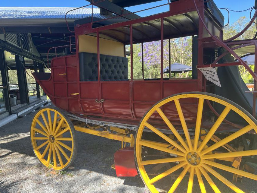
In response to the demand for transport to the goldfields since Nash’s famous 1867 strike, the Cobb and Co coach company had begun a twice-weekly service from Brisbane along a track known as the Gympie Road, a tortuous three-day journey over mountains and through river fords and punt crossings, with 10 staging points along the way.
As the enormity of the goldrush became known, the return journey from goldfields to Brisbane also became the target of bushrangers, eager to relieve the diggers of their new wealth. There had to be a better way, and Walter Hay believed it was his direct coach connection with a new port on the lower Noosa River, which had been surveyed for the first time in 1869 and was already being used by steamers to cart timber floated downriver from Mill Point over the bar and on to the capital.
The route committee men reported in 1870: “The road, which runs in a south-easterly direction to the sea coast, is variously estimated at from 30 to 35 miles in length from Gympie. The road for the first 16 or 17 miles lies chiefly through ridgy country, is well-defined, and available for ordinary traffic.”
Which is pretty much as a cyclist finds it today, once the bustling city of Gympie has been cleared.
The morning the committee men rode out, the Northumberland Hotel was a very basic, one-level watering hole, but a decade later it was replaced by a glorious Victorian era building that burnt to the ground 90 years later.
The ‘70s vernacular-styled thing that replaced it now functions as council office space. Forever the romantic, your cycling correspondent decided to move the starting point just around the corner to the magnificent heritage-listed Railway Hotel on Station Street, which seemed more appropriate and from which point it is an easy cruise on the tourist route around the eastern fringe of town, past the beautiful Lake Alford Park and mining and historical museum at Monkland to join the Noosa Road.
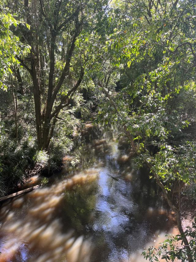
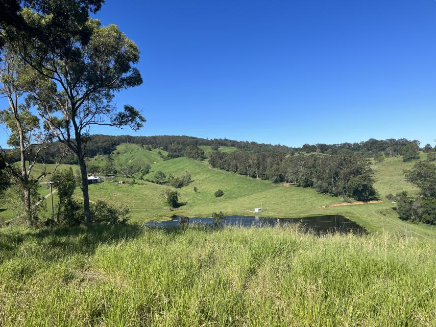
Actually, the suburban street called Noosa Road heads east out of town in a wide loop, which was probably designed to flood-proof the coach route, but meeting it south of Monkland is more direct and a lot more interesting. From here you only have to pass the Gympie bypass roadworks and Mothar Mountain Speedway before you are into the “ridgy country”, following the Six-Mile valley upstream from close to where the creek drains into the Mary River.
Cruising through forests on an empty road this sunny spring afternoon, I felt I’d ticked all the boxes when the Cobb and Co Nine Mile Campground came into view, not long after the road had gone to gravel at Tandur, and mysteriously, Noosa Road had become Old Noosa Road.
I felt in need of a cold beverage and my bike battery needed a charge, so I pulled into this lovely bush camping and glamping site that was once the first staging stop on the Shortcut, known as the Nine-Mile.
While the bike charged I took my drink into the tin shed museum on the property and browsed the random collection of old tools, saddles and a couple of sulkies before I found on a wall in a row of old pictures framed under dirty glass, my own little motherlode.
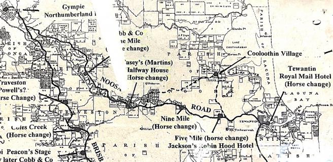
It was a replica map of the Shortcut, showing in some detail the route, the horse changes and ale houses – the best I’d seen, and if not entirely accurate, at least making geographic sense.
I took a photo of The Era Cobb and Co Gympie Service map, along with the next frame, which was yet another telling of the myth (I think) of Noosa fisherman Joseph Keyser pushing his wheelbarrow along the rough and tumble 60 kilometres of the Shortcut to sell his fish and mud crabs on the goldfields.
I’ve always doubted the veracity of the story, but now, having cycled the entire route, I’ve firmed into disbelief.
Joe Keyser was about the same age I am now when he is supposed to have pushed his laden barrow over tracks I struggled through pushing a bike.
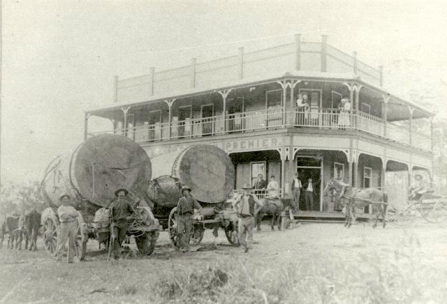
The relatively short hop to Cooran was hilly and tough in parts, but the heat of the sun had gone and I stopped to explore the crossings of Six-Mile Creek as I got closer to town, imagining where old Walter might have made camp long before publican William Casey had established Casey’s Halfway House and Stables (long gone) in what is now the centre of Cooran.
Casey sold to Bill Martin in 1881, whose son Dan Martin owned a carrying team carting goods from Tewantin to Gympie.
His team of “six lovely greys” was the pride of the district, according to Tewantin pioneer Charles St John Carter.
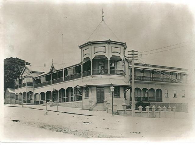
While the entrepreneurial Bill Martin expanded his hotel interests in Gympie and elsewhere, and built the Railway Hotel when the line reached Cooran in 1889, Dan became the Noosa representative on the Widgee Divisional Board and went on to establish Martin’s Hotel in Tewantin, which by the turn of the century had a reputation rivalled only by the Royal Mail.
These days in Cooran the thirsty traveller can remove the dust of the road quite efficiently at the Noosa Hinterland Brewing Company in the former Alfredson’s Joinery, a heritage-listed remnant of colonial slab carpentry which makes a perfect pub.
I shouted myself a Cooran Crusher (“pilsner and pale ale malts, neutral ale yeast, designed to drink cold when you’re hot”) and sat out on the verandah and reread the subcommittee’s 1870 route notes, saved on my phone:
“The chief obstacles to traffic on Mr Hay’s track consist of three or four scrubs, about the same number of creeks, and some low-lying swampy country within three or four miles of the proposed township. Of the scrubs referred to, two have been already cut and cleared, and the third (a very heavy scrub, of about a mile in length, and six or seven miles distant from Tewantin) is now being cleared by Mr Hay, who has also cut the approaches on either side of three creeks, and logged several of the crossings in the gullies and creeks.”
I knew that to remain true to what I knew of the route, I’d be mountain biking parts of the Noosa Trails Network recommended for experts only, which indicated an arduous day ahead, so it was only the one Crusher for this traveller, whose digs for the night were up a long and winding incline several kilometres out of town.
A quick stop at the general store, and equipped with the makings of a basic dinner in my backpack, I cycled into the hills with the lowering sun at my back.
Next week, the intrepid but elderly e-biker gets a little bit lost in the Ringtail scrub.