One of the scariest situations Australians can face is bushfires.
The Sunshine Coast and Noosa are involved in the development of an app that can help predict such catastrophes.
After the world experienced the highest average daytime temperatures ever recorded in July, the University of the Sunshine Coast is helping Australia prepare for the summer ahead with a new initiative to predict the devastation of bushfires.
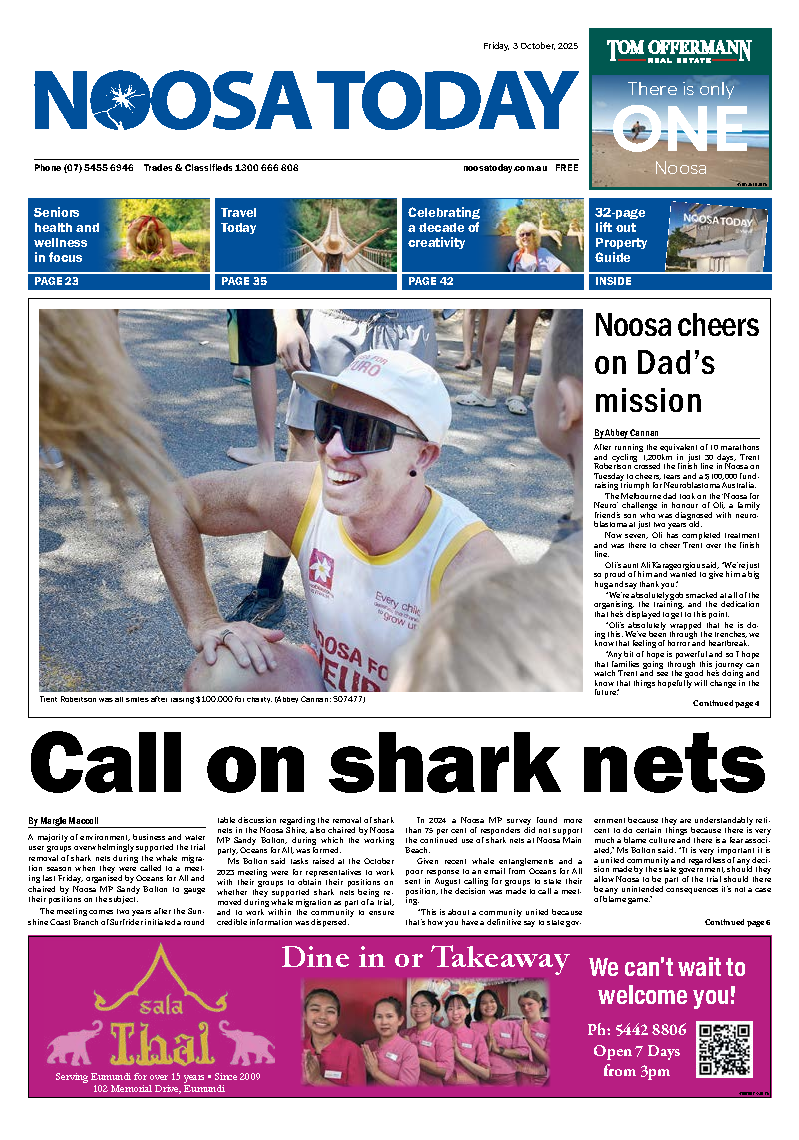
The National Bushfire Resilience Network (NOBURN) is a citizen science project empowering people to use their mobile phones to collect information that will help predict bushfire hotspots and minimise their impact.
The project is the culmination of two years’ research through an alliance of world-renowned researchers in artificial intelligence, forestry, human factors and science communication.
This involved the University of the Sunshine Coast and University of Adelaide’s Australian Institute for Machine Learning, in partnership with Noosa Shire Council and funded through the Federal Department of Industry, Science and Resources.
Chief investigator Dr Sam Van Holsbeeck said that with the fire season approaching, the app would be of great benefit and the strength was anyone could use it.
“After some very wet years with everything growing nicely, there’s a lot of fuel available,” Dr Van Holsbeeck said.
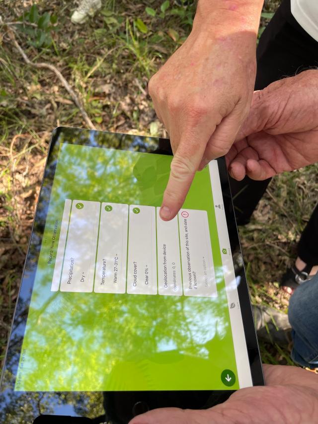
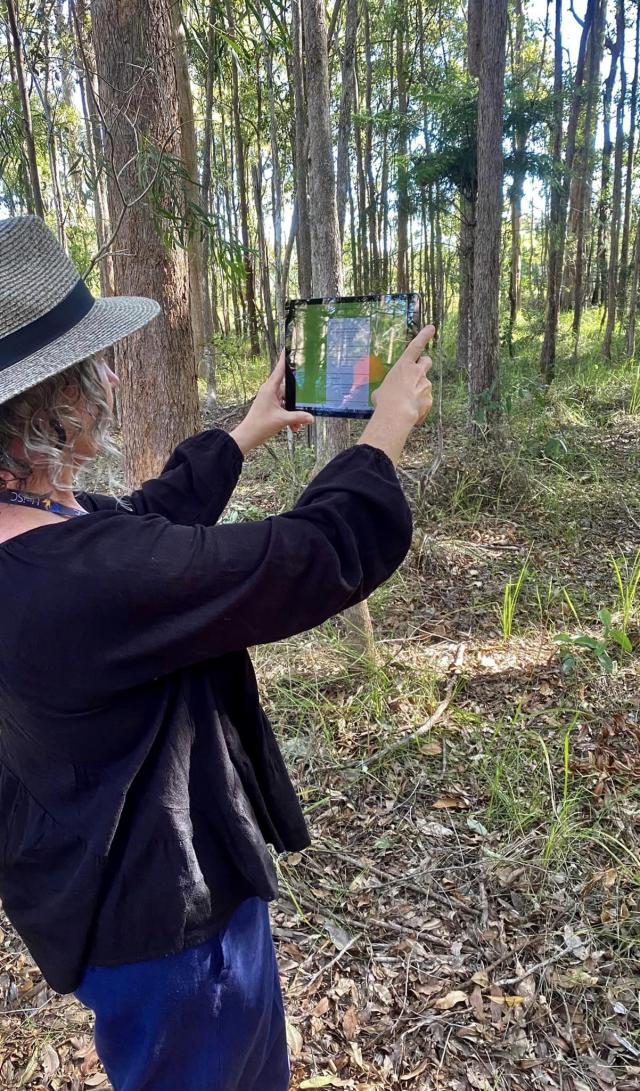
“The NOBURN app encourages people out-and-about in their local forests to take photos and tell us more about the forest and fuels.
“That data is processed by artificial intelligence to help predict the probability, severity and burn area of potential bushfires.
“So what we want people to do is to go into the forest, snap a pic and help predict.”
Professor Javen Qinfeng Shi from the University of Adelaide’s Australian Institute for Machine Learning (AIML) said the AI developed for NOBURN was cutting edge. “We are developing AI models to spot potential bushfire hazards and assess bushfire fuel load from the images captured by the NOBURN app.
“The algorithms behind these AI models are based on AIML’s world-leading expertise in computer vision, and machine learning,” Prof Shi said.
NOBURN was developed in the wake of the 2019-20 bushfires that burned more than 10 million hectares of forest, destroyed 2000 homes and claimed dozens of human lives and millions of animals.
Professor Mark Brown from UniSC’s Forest Research Institute said the app will help predict future disasters of that scale.
“While naturally occurring bushfires cannot be avoided, there is an opportunity with this project to predict their likelihood and implement strategies to minimise their impact on the environment, property and life,” Prof Brown said.
Dr Van Holsbeeck believes NOBURN will generate not only better-informed science about the risk of bushfires in Australia, but also better-informed communities.
“The NOBURN project is a unique opportunity to engage the community to collect nationwide forest fuel data while creating more awareness on the risk associated with fuels in our forests.
“It’s a great way to learn how to be better prepared for any potential disasters or extreme bushfire events if they were to happen,” Dr Van Holsbeeck said.
SNAP A PIC, MAKE A DIFFERENCE
Bushfires are a part of life in Australia, but we can take steps to predict and better prepare for their impact.
With just a simple action, we can play a crucial role in shaping a safer future.
By downloading the NOBURN app anyone can help protect our people, our native wildlife, and our landscape.
Snapping a pic and collecting some data can help provide smarter forest research.
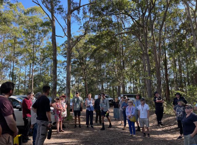
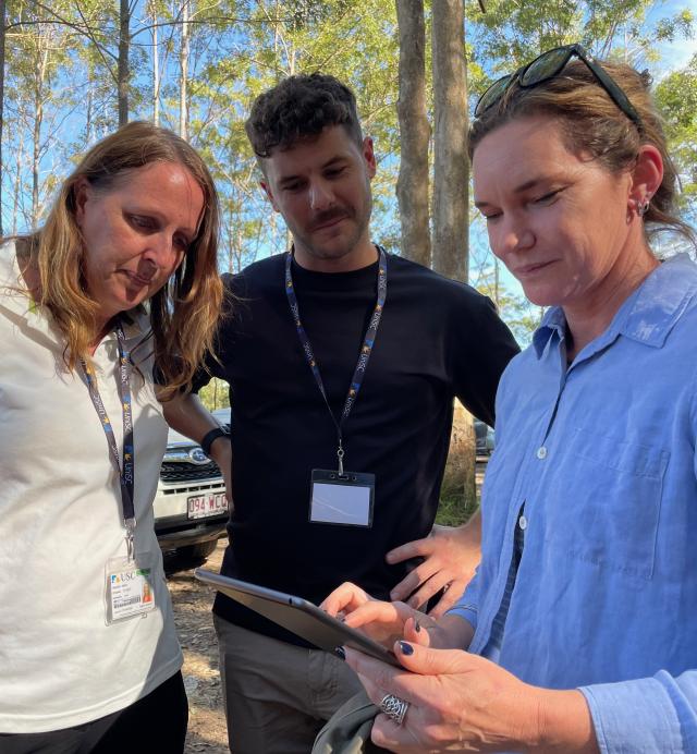
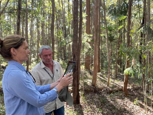
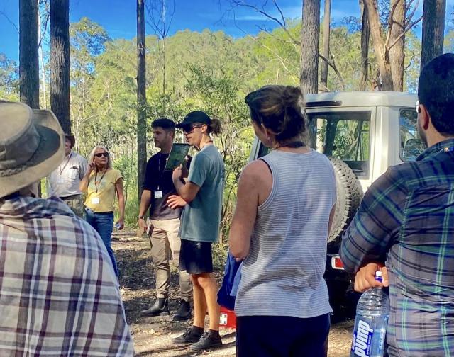
A workshop at Noosa and District Landcare in Pomona late last year, included trials with the app.
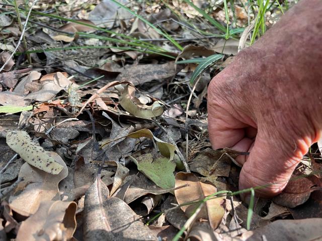
This involved a field study at Yurol State Forest to test the collection of information, such as the amount of vegetation and leaf litter on the forest floor, the type of forest, the weather conditions on the particular day.
The more dominant vegetation will determine the fire danger rating system. This gives an indication to firefighters on how to react.
The new bushfire program has been developed in response to the 2019 fires. It is focussed on prediction and resilience.
It’s a matter of making everyone aware of the forest, the forest fuels, and the landscape.
This means that a regular family or person out bushwalking can transform their walk into a valuable source of data to help predict potential disasters.
By creating an understanding before we have a fire, the authorities can enact better responses – how to get emergency response teams quickly and safely to fires.
Mapping of fuel is important.
As part of the 2020 Royal Commission into bushfires, all fire-fighting agencies across Australia have the same coding and language.
The more data we get the better the project will be. The app is free and offers many opportunities for learning, including for parents to educate their children about bushfire elements such as leaf litter depth, tree bark prominence, canopy cover and more.
Whether it be forests or housing developments, this is about understanding when there is a risk and how we can all help make a difference in bushfire response.